


10 Nord, COMMITTED EXPERTS.
Reveal, understand, and act for environmental preservation.
10 Nord was founded by a collective of experts in information technology, image processing, environmental science, and data analysis. Our mission is to provide organizations with tailored tools and solutions that enable them to uncover, understand, and effectively address their environmental and security challenges.
Use case
SAFEGUARD THE PLANET
.
The 10 Nord teams dedicate their efforts and leverage their extensive expertise to serve the environment.

Preservation of ecosystems and biodiversity

Protection of natural resources and marine ecosystems.

Monitoring and protection of natural carbon sinks


OUR OFFERING
.
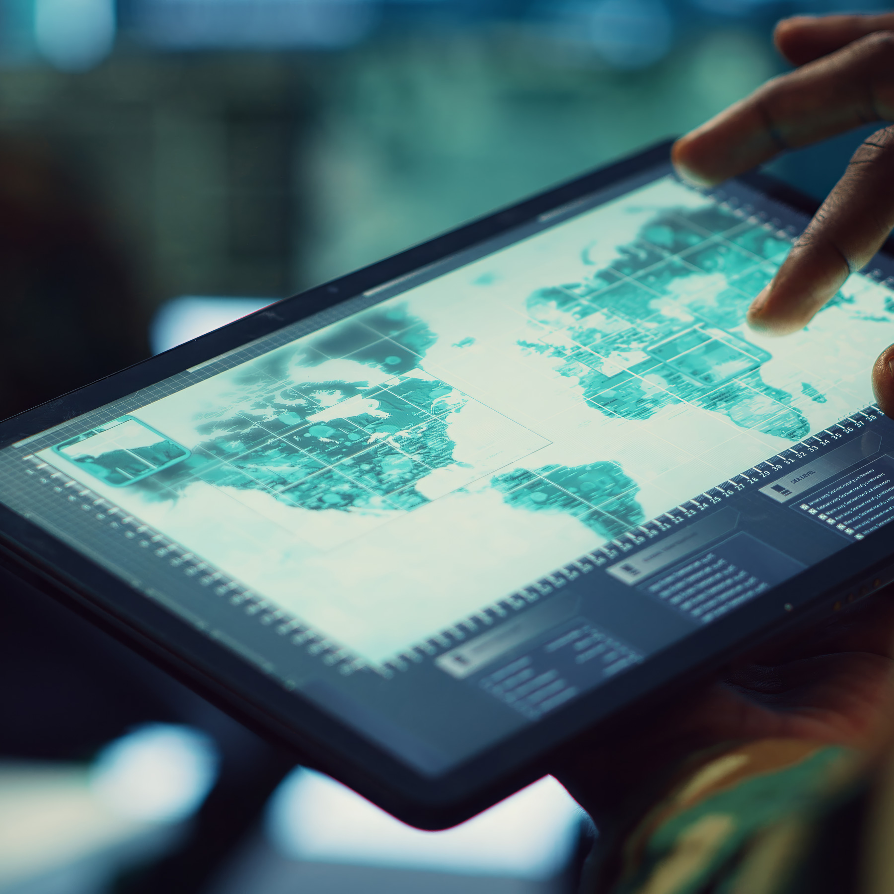
At 10 Nord, we leverage an innovative platform that simplifies access to open and commercial data. We provide our partners with comprehensive expertise in consulting and software development, enabling them to benefit from tailored solutions for effective monitoring and management
GEOSPATIAL INTELLIGENCE
The increase in the trafficking of natural resources, illegal logging, poaching, and the escalation of illegal activities—along with the growing pressure on natural resources and the mounting challenges of preserving carbon sinks—has led 10 Nord SAS to develop geointelligence services to support the protection of sensitive sites. Our team of experts, primarily from the military sector, assists demanding clients in the preparation, execution, and oversight of monitoring and protection operations.

References
Congo Basin
Satellite detection and monitoring of illegal coltan mining operations.
SIRCO - 2024
Gulf of Guinea
Satellite imagery analysis and AIS data for maritime surveillance.
AIRBUS DS - 2024


ENVIRONMENTAL REMOTE SENSING
In response to the challenges of climate change, our team of experts designs and implements innovative solutions for environmental monitoring. We combine remote sensing data, in-situ measurements, and advanced data analysis technologies to provide precise and actionable insights, enabling proactive management of ecosystems.
References
QABsat
Production of bathymetric data derived from multispectral images for monitoring coastal areas.
Pléiades Neo Applications Campus (CNES / AIRBUS) – 2024
Project Lif
Quantification using satellite imagery of carbon sequestration volumes in reforestation and conservation projects.
GIE project Lif – 2024
IT AND CONSULTING SERVICES
Our experts and network of consultants bring their expertise to the development of specialized software and the integration of advanced technologies, such as processing and visualization of large data volumes, artificial intelligence, blockchain, and cryptography.
References
France - Projet CISE
Expertise and configuration of encryption hardware and software for interstate data exchange.
General Secretariat for the Sea / Athanor Engineering – 2024
French Polynesia
Development of embedded software for a geolocation device.
Department of Marine Resources / Athanor Engineering – 2024
Development of a multi-source data visualization solution for maritime security.
Athanor Engineering - 2024
OUR TEAM
.
Gilles
LEVE
With a career spanning over 26 years in the French Navy, Gilles Levé later joined the Military Intelligence Directorate at its inception. He played a key role in establishing a satellite imagery analysis unit for the United Nations within the International Atomic Energy Agency, before contributing to the development of commercial imaging at AIRBUS Defence and Space for security and defense missions, notably in Africa. Today, he leads the Geo-Intelligence team at 10 Nord.
Sylvain
CAPO
With a Ph.D. in Marine Geology, Sylvain CAPO is an internationally renowned expert in marine optics, specializing in inversion methods for satellite monitoring of coastal environments. With his expertise and extensive experience, he addresses the technical challenges of remote sensing applied to environmental monitoring.
Romain
PERRIN
Passionate about IT and a top graduate of the image photo-interpretation training program at the Military Intelligence Directorate, he joined the CPA10 (Air Parachute Commandos) as a data exploitation specialist. After earning a master’s degree in computer science, he gained substantial experience as a CIO and CTO in the private sector. Today, he leads the 10 Nord platform and oversees the ICE team while providing support to the Geo-Intelligence teams.
François
MARQUES
Following his experience in the oil offshore sector in the Gulf of Guinea and at the Research Institute for Development as an Oceanographic Engineer, François Marques collaborated with Gilles Levé on the operational success in France using commercial satellite imagery for maritime surveillance. Today, François Marques is responsible for the development of 10 Nord.
Michel
CHAYRIGUES
A former commando instructor at CNEC (National Center of commando training), Michel Chayrigues brings to 10 Nord his unique experience as an entrepreneur across various sectors, along with his team management skills. He supports the strategic development of the company and assists the team in executing ambitious and complex projects.
Jean-Yves
BULOT
Jean-Yves Bulot joined the company 10 Nord when it was founded. Trained as a chartered accountant, he has held various positions of responsibility in the railway industry, aerospace and the pharmaceutical industry. Jean-Yves has managed several subsidiaries of large groups in West Africa.
L’équipe d’encadrement
M i c h e l
C H A Y R I G U E S
Cutting-Edge Driver Technology
Seamless Wired and Wireless Use
Immersive Active Noise Cancellation
Tech Specs
Sound
Headphone Type: Closed-back, over-ear
Impedance: 25 ohms
Design
Materials: Aluminium, leather, fabric, polymer, rubber
IP Rating: IP53 (dust and water-resistant)
Dimensions: Headphones: 195 x 200 x 52 mm; Case: 200 x 180 x 63 mm
Weight: Headphones: 285 g; Case: 360 g
Battery
Charging Time: ~2 hours
Connectivity
Codecs: aptX™ Adaptive, AAC, SBC
Connections: USB-C, 3.5mm jack
